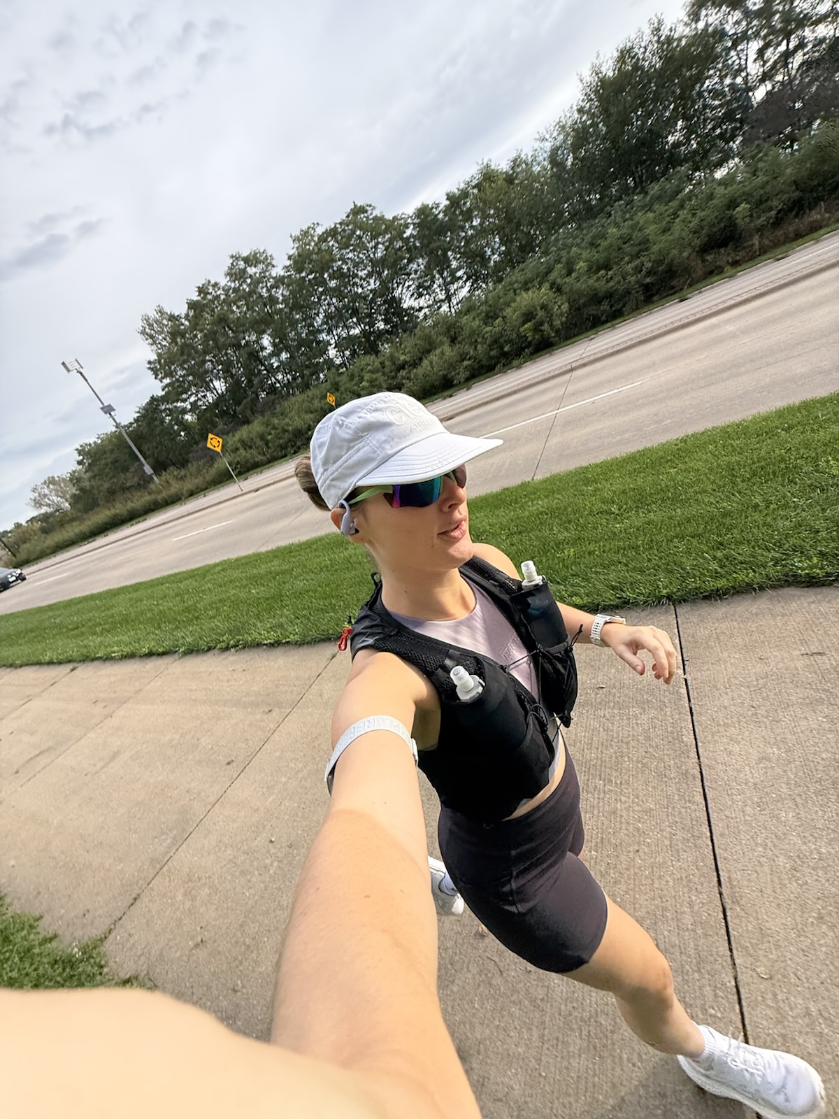
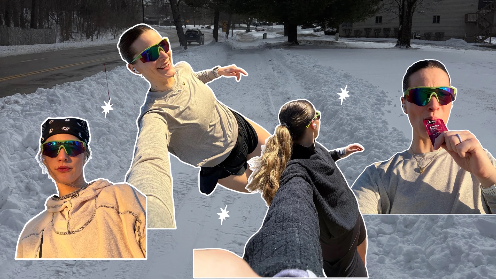
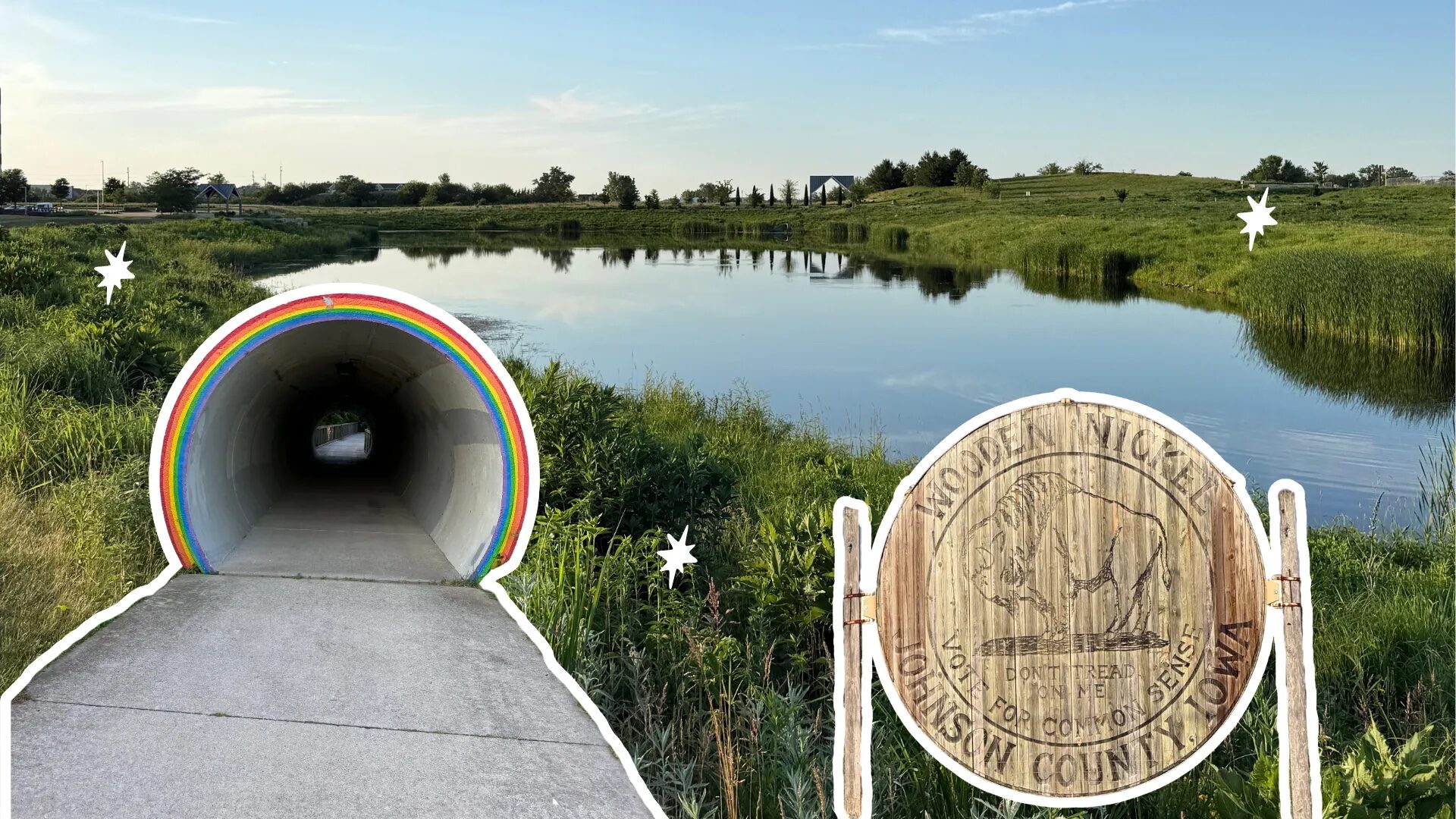
When I moved to Iowa a little over two years ago, I was pleasantly surprised by all the beautiful, well-kept trails around Iowa City. Those trails are a big part of what got me into running in the first place. Not a bad bonus for a move that had nothing to do with running.
One of the best things about running here is the sheer number of routes. You can go flat and fast or add a few rolling hills to keep things interesting. But picking a trail is only half the battle. Where are the water fountains? Is there a bathroom anywhere? And how long is that trail, actually?
So here’s the guide I wish someone had handed me when I moved here. These are the best running routes in Iowa City, plus the practical details running apps tend to leave out.
Quick disclaimer: every distance below comes from my own Coros GPS files. They may not match AllTrails or TrailLink exactly. Then again, no two apps agree on these trails anyway, which is half the reason I made this.
● The short answer
For flat, easy miles, run the Iowa River Corridor Trail. For a ready-made half marathon, run Clear Creek Trail out and back. For hills, take the North Ridge Trail from Tom Harkin Trailhead to North Liberty. And for long runs up to 20 miles, I have a whole separate guide.
Where to Run in Iowa City: Routes at a Glance
| Route | Distance | Hills | Best for |
|---|---|---|---|
| Terry Trueblood loop | 1.8 mi loop | Flat | Laps and workouts |
| Iowa River Landing | 4.6 mi | Flat | Short, pretty, easy runs |
| Iowa River Corridor Trail | 11.0 mi | Flat | Easy miles, flat long runs |
| Clear Creek Trail | 13.1 mi out-and-back | Barely any | A ready-made half marathon |
| North Ridge Trail to North Liberty | 12.7 mi out-and-back | The hilliest | Hills and 20-mile builds |
| Solon → Lake Macbride | 9.1 mi out-and-back | Gentle | A change of scenery |
Most of these routes are paved, but the Solon trail and part of the Iowa River Landing route are crushed gravel. Each map shows the water and bathroom stops I know of. You can also download the GPX to load onto your own watch.
1. Terry Trueblood Recreation Area Loop
1.8-mile loop · paved · completely flat
● Interactive route map
Terry Trueblood Recreation Area
- 1.8 mi loop
- Flat
- Paved
- Start mi 0
Sand Lake loop - Water + bathrooms
Small blue dots on the map
If you’re new to running, start here. It’s a 1.8-mile paved loop around Sand Lake with only 10 feet of total gain. Plus, you’re never far from a bathroom or water fountain.
I also love it for interval workouts when I don’t feel like being on a track. And you can’t go wrong with a sunset lap around the lake. It’s also an easy place to park if you want to hop onto the Iowa River Corridor Trail.


- Water + bathrooms: a small building on the far left side of the parking lot has bathrooms and a water fountain. There’s also a porta potty about a mile into the loop.
2. Iowa River Landing in Coralville
4.6 miles out-and-back · paved and crushed gravel · flat
● Interactive route map
Iowa River Landing
- 4.6 mi round trip
- Flat
- Coralville
- Start mi 0
Iowa River Landing, Coralville - Turnaround mi 2.32
Head back the way you came - Water + bathrooms
Small blue dots on the map
In my opinion, these are the prettiest few miles of the river trail. The route starts at Iowa River Landing in Coralville and follows the river south. It’s perfect for an easy run, a shakeout, or catching up with a friend. It’s also a great jumping-off point for the North Ridge Trail, the Iowa River Corridor Trail and Clear Creek Trail.


- Parking: free on the street or in the parking ramp.
- Water + bathrooms: water and a bathroom around the corner from the start, and another water fountain about 2.2 miles in.
- Connects to: the far end is only about half a mile from the Iowa River Corridor Trail route below. Link the two for a flat 16+.
3. Iowa River Corridor Trail (From Terry Trueblood)
11.0 miles · loop + out-and-back · paved · about 90 feet of gain
● Interactive route map
Iowa River Corridor Trail
- 11.0 mi round trip
- ~90 ft gain
- Paved & flat
- Start mi 0
Terry Trueblood Recreation Area - Sand Lake loop done mi 1.83
Head north on the river trail - Riverfront Crossings Park mi 3.5
Water and bathrooms - City Park mi 5.67
Water and bathrooms - Turnaround mi 6.3
Just past City Park - Water + bathrooms
Small blue dots on the map

This is an Iowa City staple. On any given weekend, you’ll pass dozens of runners training for their next race. My version starts at Terry Trueblood Recreation Area with a lap around Sand Lake. Then it follows the Iowa River north through town and turns around just past City Park.
I love how scenic it is, with the river right beside you and downtown Iowa City in the background. It’s also about as flat as Iowa gets: roughly 90 feet of gain over 11 miles.
- Water + bathrooms: at Terry Trueblood (near the end of the lake loop) and Riverfront Crossings Park (around mile 3.5). There’s also a stop at City Park (around mile 5.7), near the Riverside Festival Stage.
- Flooding: the low sections along the river are the first to close after heavy rain. Be prepared to detour after a big storm.
● A safety note
The stretch through Riverfront Crossings Park, near Highway 6 (around mile 3.5 heading north), is the one spot where I’ve felt uneasy running alone. It’s a quieter, more secluded stretch, and I’ve regularly seen people sleeping along the trail there.
Especially for my fellow female runners: run this part in full daylight, bring a friend if you can, skip the music, and trust your gut. You can also detour around the park or cross the river at a different bridge. Overall, though, the trails around here are busy and feel very safe.
Turnaround points (start: Terry Trueblood)
| Turn around at | Total | Water / bathrooms |
|---|---|---|
| Just the Sand Lake loop | 1.8 mi | At the lake |
| Loop + Riverfront Crossings Park | 5.2 mi | Mile 3.5 |
| Loop + City Park | 9.6 mi | City Park |
| Loop + just past City Park (full route) | 11.0 mi | City Park |
| Skip the loop, out-and-back only | 9.2 mi | City Park |
4. Clear Creek Trail in Coralville (to Tiffin and Back)
6.5 miles one way · 13.1 miles out-and-back · paved · a very gentle climb heading west
● Interactive route map
Clear Creek Trail
- 6.5 mi one way
- 13.1 mi out-and-back
- Paved
- Tom Harkin Trailhead mi 0
Parking, water and bathrooms - Tiffin mi 4.54
Bathroom near Mehmen Ave - End of the trail mi 6.53
Turn around here for 13.1 - Water + bathrooms
Small blue dots on the map
Clear Creek Trail is one of the flattest (and most popular) trails around Iowa City. Start at the Tom Harkin Trailhead (719 Camp Cardinal Blvd) and run to the end of the trail past Tiffin. Out and back, that’s 13.1 miles on the nose by my watch. Basically a free half marathon.
A good chunk of it is in full sun, so plan accordingly for hot summer long runs. And one more heads-up: I’ve spotted snakes on this trail three separate times. Watch your step (and the bridge railings).


- Parking: Tom Harkin Trailhead
- Water + bathrooms: at the trailhead, plus a porta potty in Tiffin near Mehmen Ave (about mile 4.5).
- Winter: the Coralville section is not plowed. Once it’s snow-covered and groomed, it’s reserved for cross-country skiing and snowshoeing. You can only walk or run on it when the pavement is visible and dry.
- Turnaround options: mile 2.5 for 5 miles, Tiffin for 9.1, or the end of the trail for a full 13.1.
5. North Ridge Trail: Tom Harkin Trailhead to North Liberty (the Hilly One)
12.7 miles out-and-back · paved · about 275 feet of gain
● Interactive route map
North Ridge Trail
- 12.7 mi out-and-back
- ~275 ft gain
- The hilly one
- Tom Harkin Trailhead mi 0
Parking, water and bathrooms - The climb starts mi 1.5
About 100 feet up by mile 3 - Top of the climb mi 3
Turn here for a 6-mile hill run - Hy-Vee mi 4.32
Pit stop - Turnaround mi 6.34
North Liberty - Water + bathrooms
Small blue dots on the map

Need some hills in the mix? This route has your back. It starts at the same trailhead as Clear Creek but heads north on the North Ridge Trail. Between miles 1.5 and 3, you climb about 100 feet.
From there it rolls into North Liberty, so you get a nice long downhill around miles 9 to 11 on the way back. It’s classic rolling Iowa terrain and a different workout for your legs. On hot summer days, I stop at the Hy-Vee just off the trail. It’s my go-to for a bathroom break and a soft flask refill.
- Parking: Tom Harkin Trailhead.
- Water + bathrooms: at the trailhead, plus the Hy-Vee at about mile 4.3.
- Turnaround options: the top of the climb (mile 3) for a 6-mile hill run, Hy-Vee for 8.6, or North Liberty for 12.7.
6. Solon to Lake Macbride State Park
9.1 miles out-and-back · crushed gravel · about 130 feet of gain
● Interactive route map
Solon to Lake Macbride
- 9.1 mi out-and-back
- ~130 ft gain
- Quiet & scenic
- Start mi 0
Solon - Turnaround mi 4.53
Lake Macbride State Park

When I need a change of scenery (and a break from pavement), I drive about 15 minutes north to Solon. From there, I run the trail out to Lake Macbride State Park and back. It’s quiet and beautiful, with wildflowers and butterflies lining the trail. It’s also mostly flat, which makes it perfect for an easy, scenic, longer run.
- Parking: at the Hoover Nature Trail trailhead.
- Water + bathrooms: none, so bring your own.
- Shorter option: turn around at mile 2 for an easy 4 miles.
● Easy-miles music
Need something to listen to? Check out my playlists.
Long Run Routes in Iowa City
Training for a half or full marathon? I put together a whole separate guide to my long run routes in Iowa City. It has maps for 10, 13.1, 16, 18 and 20 miles, plus every water fountain, bathroom and Hy-Vee stop along the way.
Where to Run Hills in Iowa City
Most of these routes are flat, which is great until you’re training for a hilly race. I learned that the hard way during my first marathon on the surprisingly hilly Des Moines course. My go-to is the North Ridge Trail from Tom Harkin Trailhead: about 100 feet of climbing between miles 1.5 and 3. Run the whole thing, or turn around at the top and do repeats.
Iowa City Running FAQ
Is Iowa City hilly?
Most of the terrain here is either flat or rolling hills. The river trails are flat: my 11-mile Iowa River Corridor Trail route has about 90 feet of gain. For hills, the North Ridge Trail from Tom Harkin Trailhead climbs about 100 feet in a mile and a half.
Where can I run 20 miles in Iowa City?
My go-to is a 20-mile loop from Tom Harkin Trailhead. It takes the North Ridge Trail to North Liberty and the Iowa River Corridor Trail down to City Park. Then Clear Creek Trail brings you back to the car. I mapped it, with every water and bathroom stop, in my long run routes guide.
Is Clear Creek Trail plowed in winter?
No. According to the City of Coralville, Clear Creek Trail isn’t plowed. When it’s snow-covered and groomed, it’s reserved for cross-country skiing and snowshoeing. Walking or running is only allowed when the pavement is visible and dry.
Is it safe to run alone on Iowa City trails?
For the most part, yes. The trails around here are busy and feel very safe. The one spot where I’m extra careful is Riverfront Crossings Park near Highway 6, on the Iowa River Corridor Trail. I run that part in daylight, with a friend when I can, and without music.
Does the Iowa River trail flood?
The low sections along the river can close after heavy rain. Check City of Iowa City alerts before heading out after a big storm.